-
![Illustration from the Flora Japanica [sic!]](fileadmin/_processed_/6/6/csm_FloraJapanica_PPN3343671622_00000486_9d36276d4f.jpg)
Illustration from the Flora Japanica [sic!]
The Flora Japanica [sic!] was a gift from Andreas Cleyer (1634-1697) to the Great Elector Frederick William in 1685 and is therefore one of the earliest pieces from Japan to be included in the collection of today's Stabi. Call number: Libri picturati 41/42
Archive -

Korean World Map (Kr. Ch'ŏnhado; Ch. 天下圖)
The World Map is part of a set of 13 foldable colored manuscript maps, including maps of the world, China, Japan, Ryūkyū, Korea, and the eight Korean provinces. The maps are bound into a volume measuring 16.6 x 10 cm. The volume is part of the "Zaborowski Collection" (Shelfmark: 5 A 296004 and Digitized)
Archive -

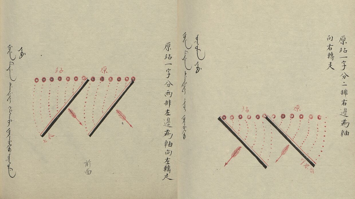
Illustration from the Amba/Ajige meyen-i fafun selgiyen
Military regulations for drill, signalling and commands. Manuscript in Manchu and Chinese. The colophon reads: Drawings of the left camp of the right wing of the infantry regiment, final copy by regimental soldier Fushou 福壽 and officer Yongxiang 永祥.
Archive
Shelfmark: Libri sin. N. S. 1913
